Project Overview
The Wisconsin Department of Transportation (WisDOT) developed a Design-Build project that consists of structure replacement on WIS 130 south of Lone Rock in Richland, Sauk and Iowa Counties. The southern project limits are approximately 1500 feet west and 200 feet east of the existing intersection of WIS 130 and WIS 133, and the northern project limit is approximately 250 feet north of Brace Memorial Park. This project will replace the three existing structures with two new structures.
Check out the boaters guide here.
To view the project design website visit: Project design website
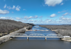
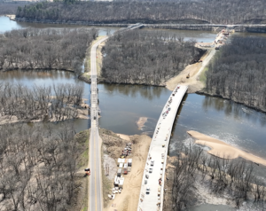
Photos taken 4/8/24
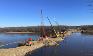
Photo taken 3/15/24 from WIS 133 looking north at the south bridge pier construction progress.
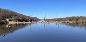
Photo taken 3/15/24 from existing bridge looking west at south river channel CLOSED to boat traffic with buoys in place and construction causeway spanning the entire channel.
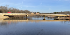
Photo taken 3/15/24 from existing bridge looking west at the north bridge and river channel OPEN to boat traffic with rock causeway removed from the river.
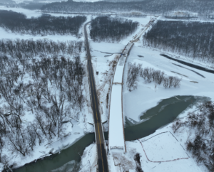
Photo taken 1/23/24 of both existing and new WIS 130/133 alignments looking south.
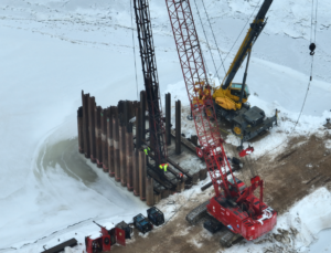
Photo taken on 1/23/24 of South Bridge Pier #4 pile driving operations.
2023
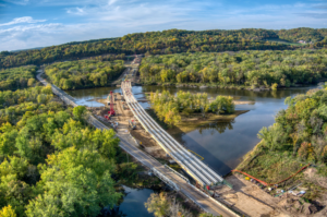
Photo taken 10/17/23 of north bridge with all 32 girders set and deck form work operations in progress.
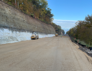
Photo of WIS 133 finished rock cut and roadway base aggregate placement.
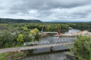
Photo of first 2 girders being set for the north bridge – each girder is 137 ft long, 6ft tall, and 140,000 pounds.
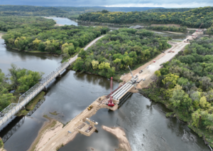
Photo of the first 4 girders set in place for the north bridge.
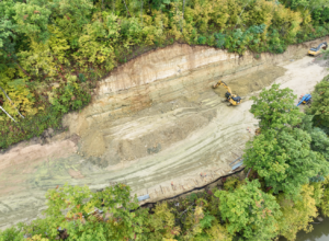
Photo of WIS 133 rock bluff excavation progress.
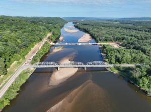
Photo is looking west at the Wisconsin River south channel – view of existing and new bridge alignments, and WIS 133 closed and under construction.
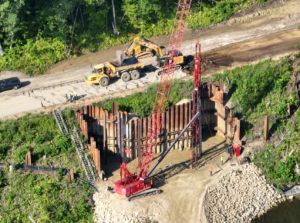
Photo shows the South Bridge-South Abutment pile driving and WIS 133 asphalt pavement removal up top.
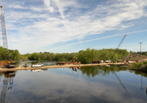
Photo shows looking west at the north bridge construction with cofferdams in place at piers 2, 3, and 4.
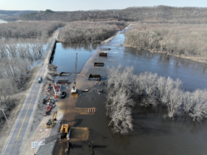
Photo shows looking south at the existing and new WIS 130 alignments with work zone flooded.
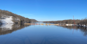
Photo shows the south river channel causeway looking west from the existing WIS 130 south bridge.
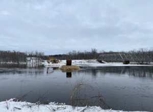
Photo shows looking north at the temporary rock causeway installation in the middle river channel.
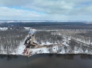
Photo shows the south river channel looking north across Long Island at the new WIS 130 alignment.
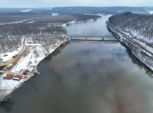
Photo shows looking east at the existing south truss bridge and temporary bridge construction off the south side of Long Island.
